3D Slope & Excavation Stability with Rocscience
- May, 26, 2026 - May, 28, 2026
- Seminar Slope Stability Slope Stability Analysis Rock Engineering Numerical & Constitutive Modeling Finite Element / Finite Difference Mining
- English
- Authored by: Geoengineer.org
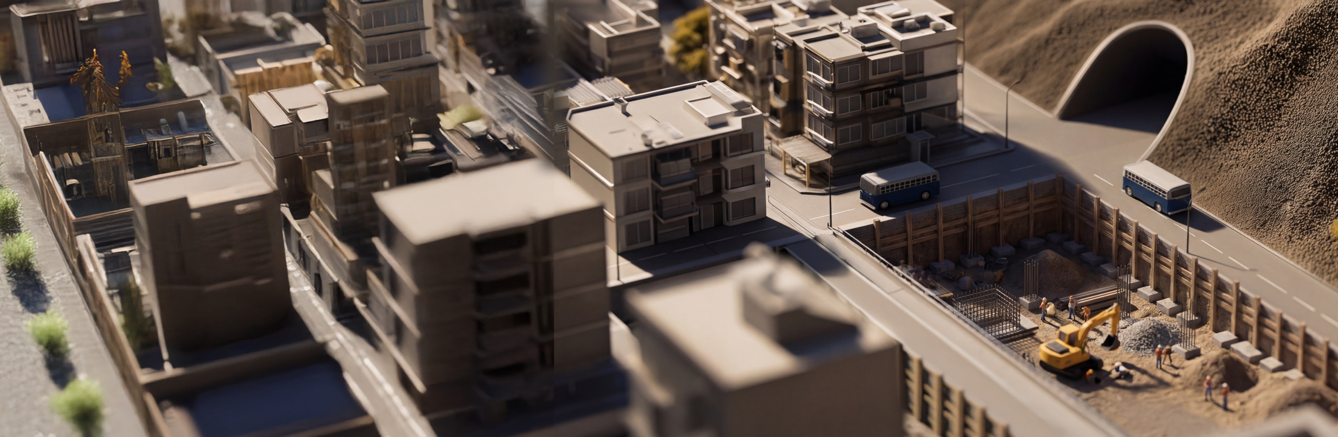
Join this in‑person, hands‑on Rocscience course in Port Moresby to learn how to map structures, build realistic 3D models, and assess open pit and underground excavation stability using ShapeMetriX, RocSlope3, Slide3, and RS3. This three‑day technical course follows a structured, end‑to‑end workflow for 3D slope and excavation stability, guiding participants from 3D surface model generation and structural mapping through limit equilibrium slope analysis to finite element analysis of underground excavations.
Course Details
- Date: May 26th-28th, 2026
- Venue: Hilton Port Moresby Hotel (Wards Rd, Port Moresby National Capital District, Papua New Guinea)
- Instructors: This course will be in English, instructed by Dr. Alison McQuillan
- Programs Covered: ShapeMetriX, RocSlope3, Slide3, RS3
- Registration Fees (USD):
1 day: $595 Early bird | $695 Regular
2 days: $995 Early bird | $1,095 Regular
3 days: $1,395 Early bird | $1,495 Regular
* Early bird pricing ends April 24, 2026.
Note: You may choose to attend any 1 day, any 2 days, or all 3 days of the course.
Want to read more like this?

Plaxis 2D/3D Basic Course – Online Training
Apr, 27, 2026 | EventJoin us for a 3-day PLAXIS 2D and a 3-day PLAXIS 3D interactive training course hosted by Geoenginee...

Rocscience International Conference 2027: Geotechnics, Structures & Hydro in the Age of AI
Apr, 30, 2026 | EventThe Rocscience International Conference 2027 (RIC2027) will bring together engineers, researchers, a...
Denver, US | Public GeoStudio Workshop: 2D+3D Slope Stability and Groundwater Flow Analysis
Feb, 28, 2025 | EventThis instructor-led course will provide you with the fundamentals skills for conducting stability i...

Piling & Ground Improvement Conference 2026 (DFI-PFSF)
May, 20, 2025 | EventThis joint conference between Deep Foundations Institute (DFI) and the Piling and Foundation Specia...
Form
Looking for more information? Fill in the form and we will contact Rocscience Inc. for you.
On This Day
June 20th 1990
READ MORE
Related Video

Trending
Reading the Rock: Structurally Controlled Slope Instabilities with DIPS and RocSlope2

Course: Slope Stability Analysis of Open Pit Coal Mine Excavations and Waste Dumps
