UCLA study identifies three geological factors behind Myanmar’s record-breaking supershear earthquake
A UCLA-led research team has revealed how a combination of three critical geological factors created the perfect conditions for Myanmar’s devastating magnitude 7.7 earthquake in March 2025, one of the longest and fastest ruptures ever observed on land.
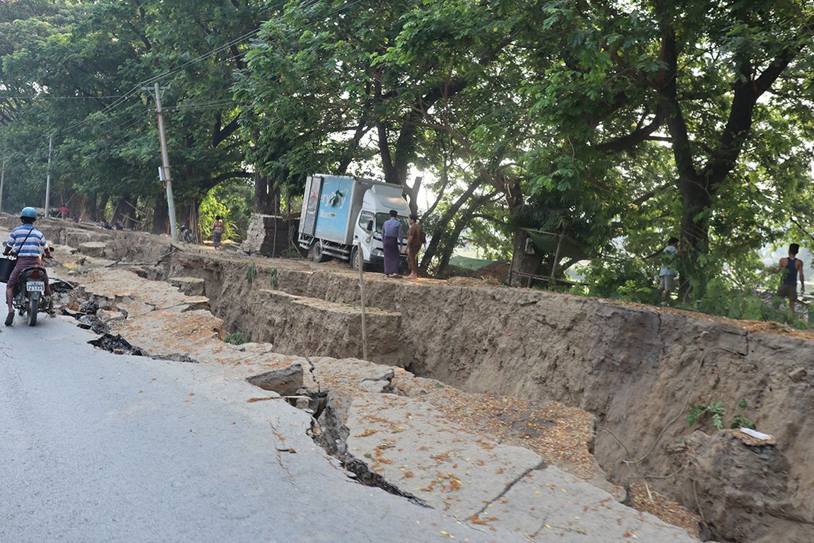
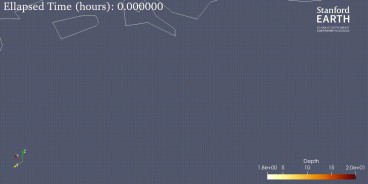
Published in Science, the study reconstructs the event along the Sagaing Fault, which ruptured over 530 kilometers (329 miles) across central Myanmar. Within that span, a 450-kilometer (279-mile) segment raced faster than the speed of seismic shear waves, producing a supershear rupture, a rare phenomenon that dramatically amplifies ground shaking.
“Supershear earthquakes are like breaking the sound barrier, but in rock,” explained Professor Lingsen Meng, senior author and geophysicist at UCLA’s Department of Earth, Planetary and Space Sciences. “They generate seismic shock fronts that can double the intensity of shaking, even hundreds of kilometers away.”
Using global seismic networks, satellite radar (InSAR), and optical imagery, the researchers were able to map the rupture sequence in unprecedented detail. They found that the southern branch of the Sagaing Fault sustained speeds of up to 5 kilometers (3 miles) per second, while the northern branch propagated more slowly.
The study identifies a “trio of super factors” that enabled the rupture’s acceleration and persistence:
- A straight and smooth fault geometry, which minimized frictional barriers.
- Long-term tectonic stress accumulation since the fault’s last major earthquake in 1839.
- Contrasting rock properties on either side of the fault, which focused and intensified stress release.
These combined conditions allowed the fault to sustain supershear velocities over hundreds of kilometers, a dynamic comparable to a sonic boom, where seismic energy is funneled forward in shock waves.
The quake caused extensive destruction across central Myanmar, including building collapses and widespread soil liquefaction, both visible in post-event satellite imagery. Because on-ground fieldwork was restricted by ongoing civil conflict, scientists relied on satellite-based damage proxy maps to assess the full extent of impacts remotely.
Meng emphasized that the event underscores how “even well-studied continental faults can behave in unexpected and dangerous ways.” Understanding the physical mechanisms behind supershear rupture, he said, is vital for improving earthquake hazard models—particularly for other major continental faults worldwide, including those in Asia and California, that share similar geometric and lithologic features.
Liuwei Xu, a UCLA doctoral student, led the seismic imaging work. The multidisciplinary research team also included scientists from Nanjing University, Central South University, the Chinese Academy of Sciences, and UC Santa Barbara.
Source: UCLA News
Want to read more like this story?
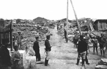
A new underlying mechanism in deadly 7.1R quake in Taiwan in 1906 has been uncovered
Jun, 11, 2018 | NewsThe earthquake was one of the deadliest to ever strike the country The earthquake was one of the...

7.7 Devastation on the Sagaing: How a Plate Boundary Ripped Through Myanmar
Mar, 28, 2025 | NewsOn March 28, 2025, a powerful magnitude 7.7 earthquake struck central Myanmar, shaking the region t...
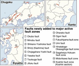
Sixteen new locations listed as major active fault zones in Japan
Feb, 22, 2017 | NewsThe total number of major active faults in the country has now increased to 113, as the Headquarters...

Overdue and Unpredictable: California’s Seismic Cycle Challenges Global Earthquake Models
Jun, 16, 2025 | NewsRecent research reveals that nearly half of California’s active fault lines, including the widely s...

A supposedly dormant fault may cause a large earthquake in Los Angeles
Sep, 16, 2019 | NewsAccording to a new study, a fault previously considered as dormant may cause a Mw 6.4 earthquake in...

Satelite data reveal Calaveras fault's creep
Dec, 25, 2014 | NewsSatellite data of the last to decades, helped in mapping the land creep along the Calaveras and the...

Study suggests that smaller earthquakes generate most strong ground motions
Jan, 04, 2021 | NewsAccording to a new study, smaller earthquakes have caused the strongest shaking incidents in the vi...

An active fault zone poses a threat for infrastructure in Salt Lake City, Utah
Jun, 03, 2021 | NewsAccording to a new study, a complex fault system beneath Salt Lake City can pose a severe threat to...
New AI method to detect microearthquakes
Dec, 07, 2020 | NewsScientists from Stanford University and Georgia Institute of Technology in the United States, intro...
On This Day
June 23rd 2001
READ MORE
Trending

New crustal stress map of North America

Using Terzaghi’s Equation in Foundation Design

Parameters Variation: Model Customization and Sensitivity Analyses

UK geothermal projects expand from Cornwall power to Birmingham heating

Stop Guessing, Start Designing: Introducing Support Designer in Slide2
Development program prepares new engineers for success