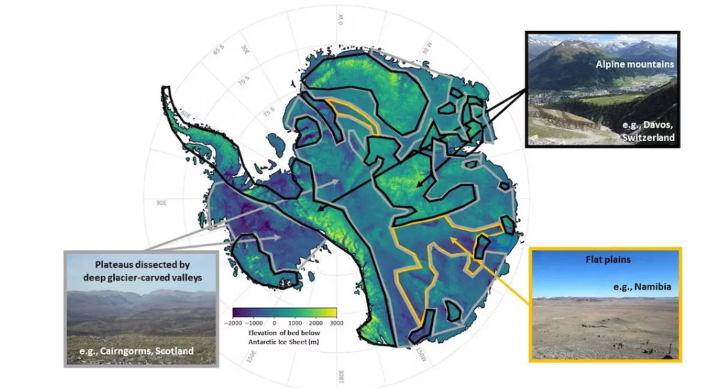
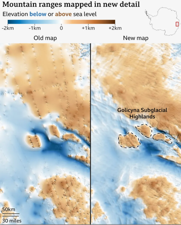
Antarctica’s subglacial world revealed in unprecedented detail
Sources: science.org, bbc.com, livescience.com, cyprus-mail.com
Want to read more like this story?
Revealing the fractured ice of Antarctica’s “Doomsday Glacier”
Apr, 18, 2024 | NewsDr Jamin Greenbaum and the team are working at the front line of climate change on the coldest cont...

East Antarctic Ice Sheet retreated little during past 8 million years
Jun, 29, 2018 | NewsLarge parts of the East Antarctic Ice Sheet did not retreat significantly during a time when carbon...

Tunnels as tall as the Eiffel Tower discovered under ice layer in Antarctica
Sep, 15, 2014 | NewsScientists have discovered tunnels beneath thick ice layers in Antarctica, which are comparable in h...

Greenland's thick ice slabs may cause sea level to rise
Oct, 02, 2019 | NewsSea level may rise by 10 centimeters due to the presence of thick ice slabs in Greenland. A new stu...

Geoengineering West Antarctic glacier to prevent a 3-meter sea level rise
Jul, 29, 2019 | NewsA group of scientists suggests a revolutionary strategy to prevent the collapse of the west Antarct...

Antarctica's melting will result in higher sea-level rise than previously thought
Apr, 30, 2021 | NewsAccording to a new study, the global sea-level rise associated with the melting of Antarctica's ice...

A sandstone fragment reveals valid information over climate change
Apr, 28, 2021 | NewsA cobble of green sandstone discovered near Antarctica has revealed crucial information regarding t...

Geoengineering polar glaciers to decelerate ice melting
May, 23, 2018 | NewsScientists believe that an interference in polar glaciers melting is critical in order to slow the s...

Huge meteor crater discovered in Greenland
Nov, 23, 2018 | NewsGeologists have discovered a massive crater beneath the ice sheet of Greenland. The crater was fo...
On This Day
June 21st 1781
READ MORE
Related Video

Trending

New crustal stress map of North America

Using Terzaghi’s Equation in Foundation Design

Parameters Variation: Model Customization and Sensitivity Analyses

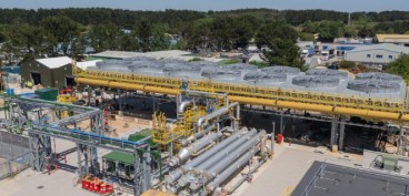
UK geothermal projects expand from Cornwall power to Birmingham heating

Stop Guessing, Start Designing: Introducing Support Designer in Slide2
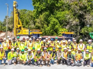
Development program prepares new engineers for success